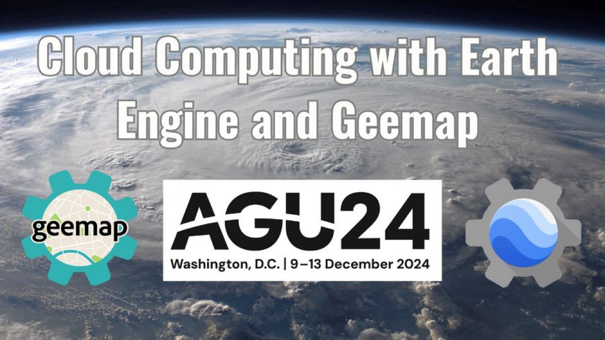
 The recording of our workshop at #AGU24 is now live on YouTube!
  Huge thanks to Justin Braaten for the fantastic collaboration
Title: An Introduction to Cloud-Based Geospatial Analysis with #EarthEngine and #Geemap
Watch here: https://youtu.be/JavlJrzcCDw
Explore the Notebook: https://geemap.org/workshops/AGU_2024


 Greg Cocks


 Building Google
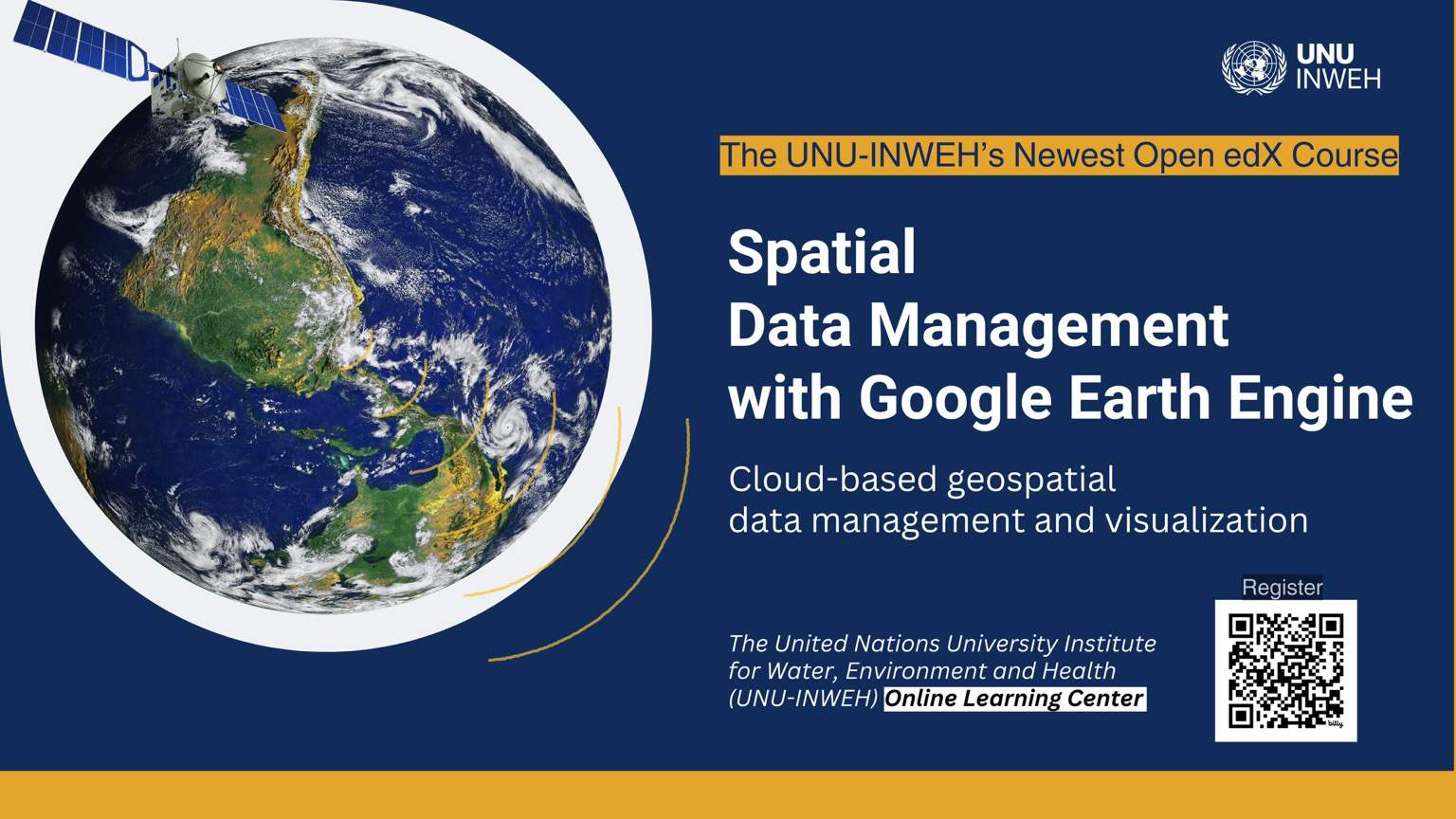
 See you there:
  Don't miss the next
 Save the Date! The
  Join
Join  I am bringing the meetup over to the thriveGEO community for geospatial professionals. The meetup is free and open to all!
  To stay updated, subscribe:
  Here's the link for our 9 Feb meetup:
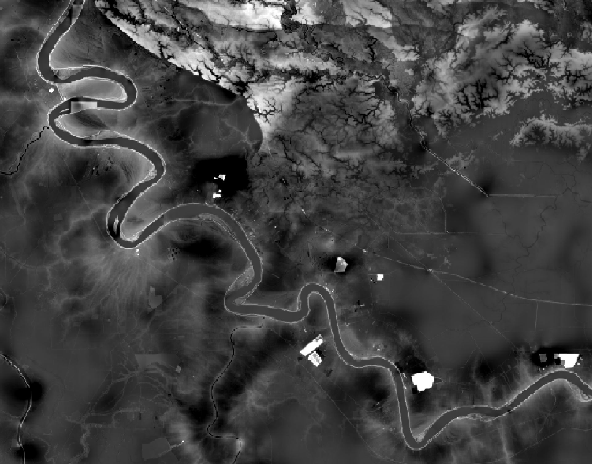
 My
My 

 Notebook: geemap.org/workshops/AGU_2023
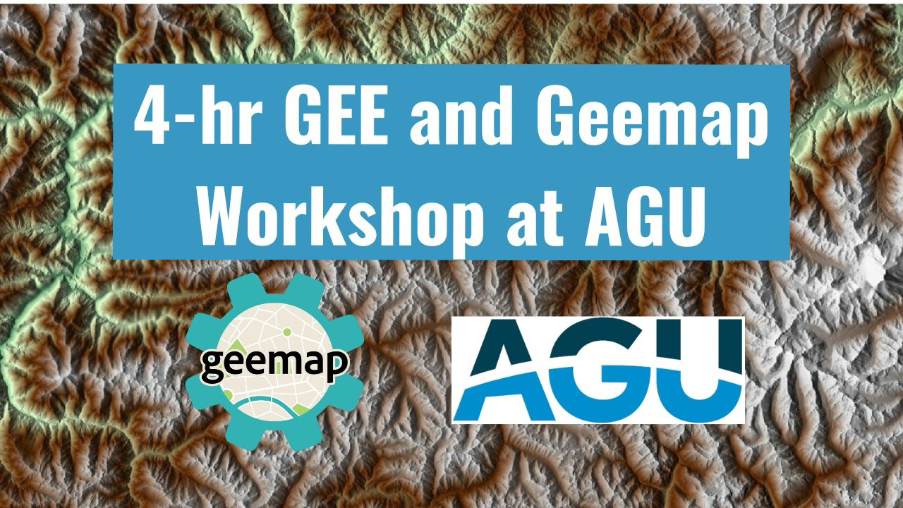

`
* Fix different value storage in `gd_enum_elements()` (required for reticulate >= 1.29)
* Update examples in /misc folder: <https://github.com/brownag/rgeedim/tree/main/misc>
- Add new example using `gd_export()` and the Earth Engine API directly via `earthengine()`
* Add `gd_region_to_vect()` an inverse method for `gd_bbox()`/`gd_region()` that creates a 'terra' _SpatVector_ from a GeoJSON-like list
* Add `gd_list_assets()` a helper function for listing the assets associated with a particular Earth Engine project.
* `reticulate::configure_environment()` is no longer called on load, this is a precaution to avoid unintended impacts from the automatic routine installing on CRAN or similar.
## What's Changed
* EE geom 1 by @brownag in https://github.com/brownag/rgeedim/pull/11
* Add `gd_list_assets()` by @brownag in https://github.com/brownag/rgeedim/pull/12
**Full Changelog**: https://github.com/brownag/rgeedim/")